
Main Navigation Menu:
Laurel Falls Page Navigation Menu:
Laurel Falls trail
 |
 |
 |
 |
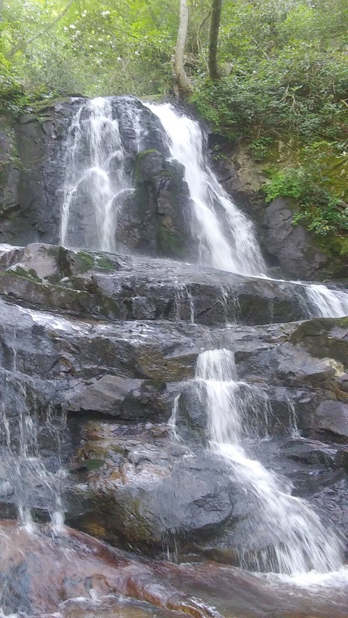
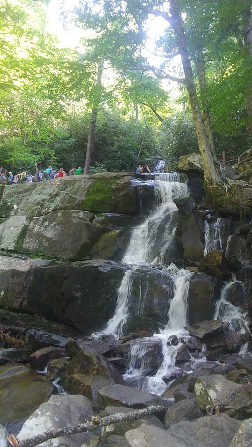
The Laurel Falls trail is located in the Great Smokey Mountains National Park. Laurel Falls is an 80ft waterfall that cascades down into the valley below. At 2.6 miles total it makes for a quick and scenic hike. Just don't be expecting much solitude as it is a very popular spot.
Trail Head
The trail head is located just off the main highway and is easy to access.
Difficulty
I only rated this trail a medium due to the fact it is slightly uphill on the way to the falls. I also rated it medium because if you want to hike to the bottom of the fall it's a bit rocky, however, the hike to the overlook is easy.
Hiking the Trail
The hike to Laurel Falls is pretty straight foward. Starting from the trail head you will hike out about 1.3 miles to reach the waterfall. Once you reach the waterfall you can view it from the top, or you can climb to the bottom to view it from there. Round trip is about 2.6 miles.
Scenery
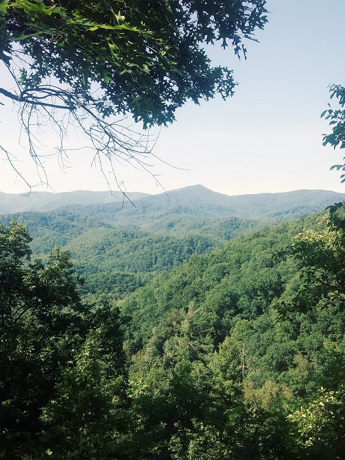
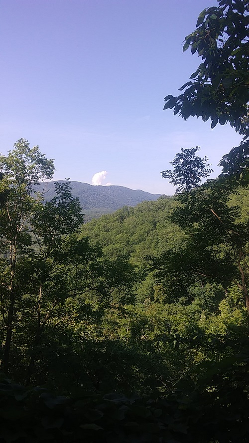
You will get to see a scenic 80ft waterfall and get great overlooks along the way. You may even get to see black bears (safety guidlines say to stay at least 50 yards from black bears and you should be just fine).
Trail Maintenance
The trail is well maintained
Facilities
There are no bathrooms close by. Anything you need you will have to get before you get there.